Meru, Kenya · Since 2013
NchaniGeo is a geospatial solutions company specializing in GIS, remote sensing, mapping, and field data collection. We transform satellite imagery and ground-based data into accurate maps, meaningful insights, and practical solutions for understanding and managing Kenya's landscapes.
From field to final map — the core services we deliver across Kenya.
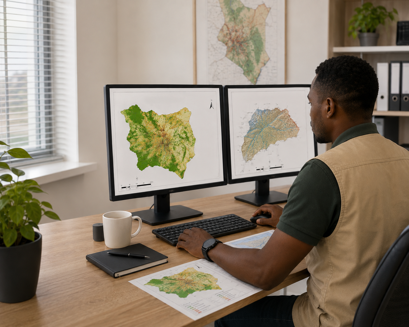 GIS/RS Analysis, Map Design/Cartography
 GIS Field Data Collection & Survey Design
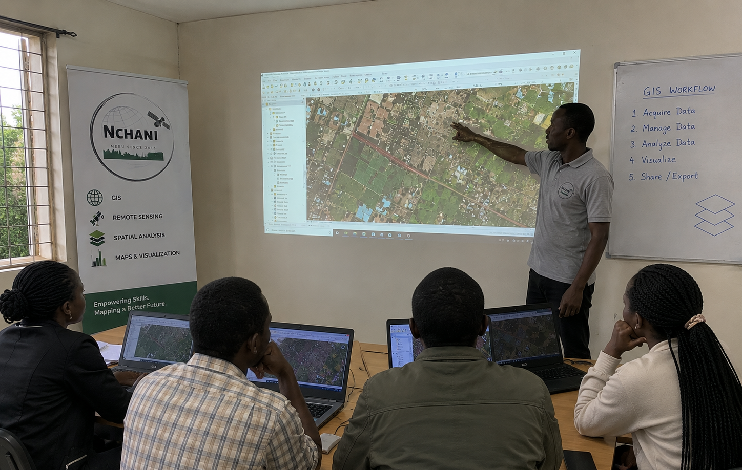 GIS/RS Training
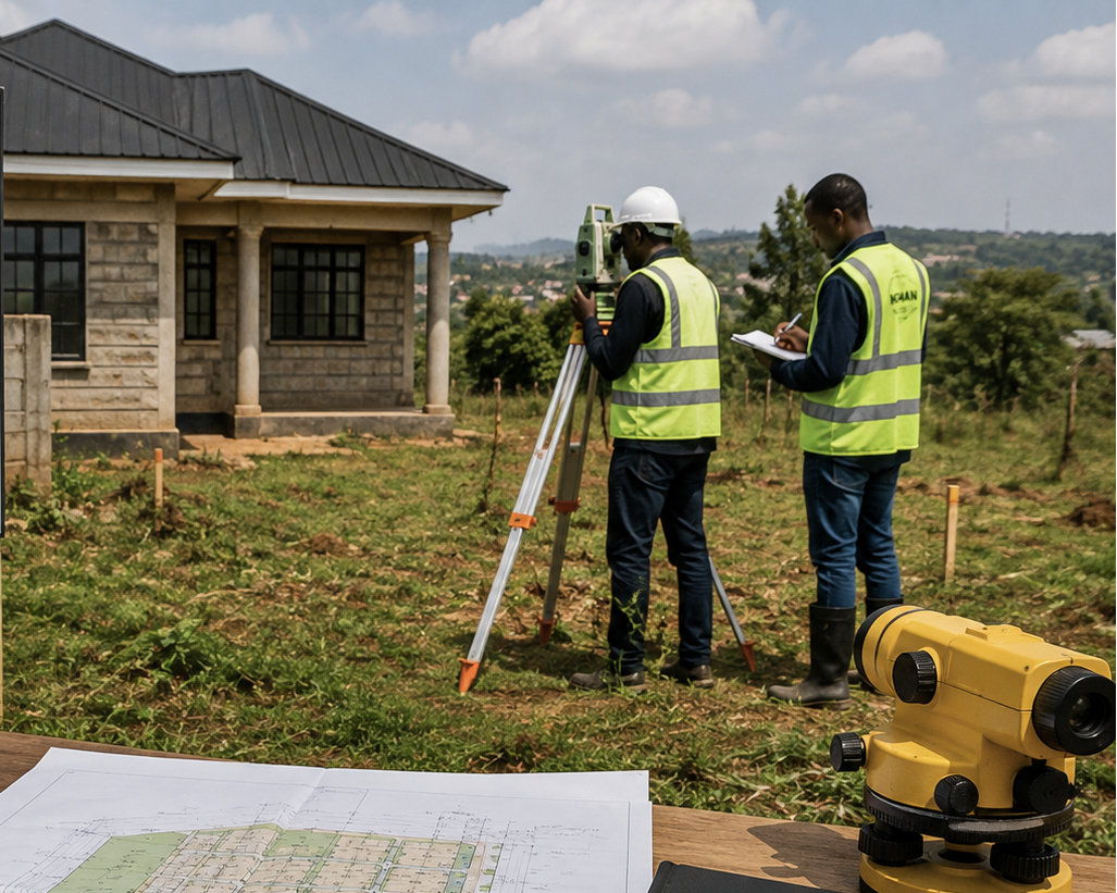 Physical Planning & Survey
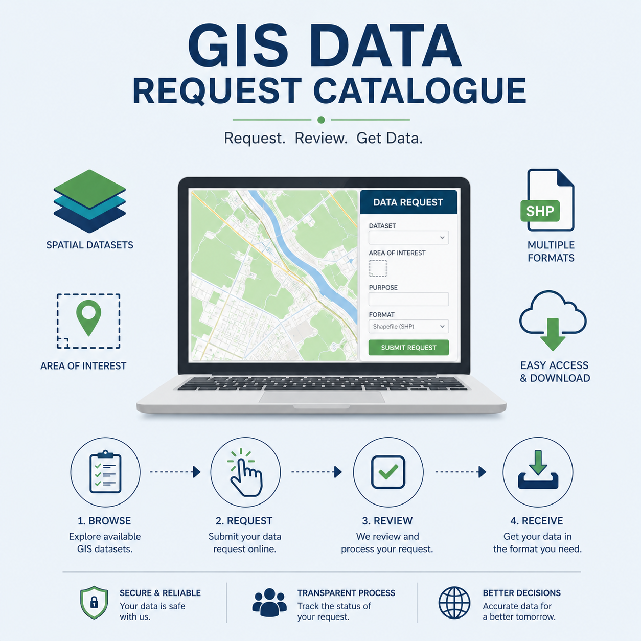 GIS Data Request
 Ameru Kenya Tour and Travel
A sample of our work across Kenya. Click a project, on the list or the map, to zoom straight to it.
Our Partners
Based in Meru, mapping across Kenya — reach out and let's talk about your project.
Office
Meru Town, KenyaPhone
+254 715 504 522Website
www.nchanigeo.co.ke